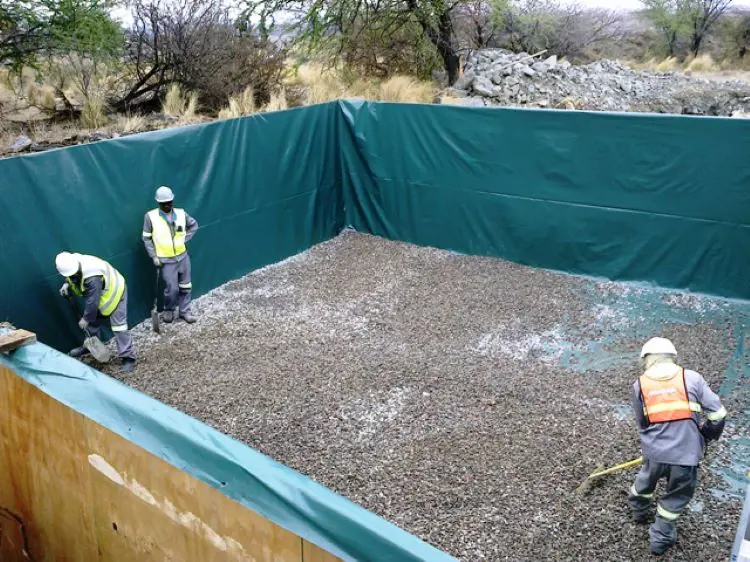
With water posing a significant risk to the stability of a tailings storage facility (TSF), the Global Industry Standard on Tailings Management (GISTM) places significant focus on water management as part of its sweeping realignment of what global stakeholders now expect of mines. These requirements include aspects such as diversion of clean water away from the tailings complex, capturing and containing water that falls within the TSF, measuring and recording of flow data and simulating the likely effects of climate change.
Being a key element in the transportation of tailings, water has in recent years received more attention as mines work to reduce the water volumes reporting to tailings facilities while increasing the volumes that can be re-used in the processing plant. The rainfall that falls directly onto the TSFs needs to be managed and stored in a safe manner. The water should be drained through the penstocks and drains safely and quickly to reduce the risk of overtopping the TSF basin walls. The GISTM also highlights that the water balance model and the associated water management plans must be applied throughout the structure’s lifecycle, even in perpetuity, to protect against unintentional releases, and this requires stochastic as well as historical water balance modelling. As mines look to become more resilient to climate change, they will need to carefully balance the likely risks against rising infrastructure costs.
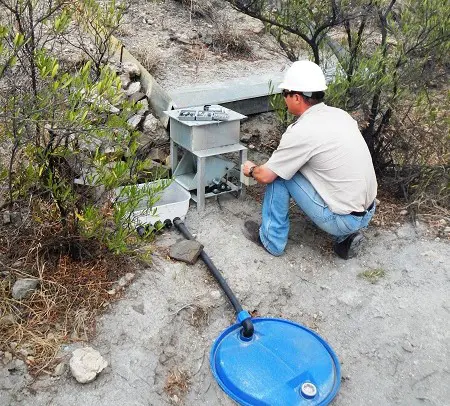
Monitoring and controlling water-related variables on TSFs means applying appropriate instrumentation for water level sensors – in dam levels as well as in outflow structures. Mines have been paying more attention to these aspects, including the increased use of automatic water level sensors within TSFs, flow measurements in drains and trenches, and in site-wide reticulation. The GISTM will undoubtedly lead to an acceleration in this trend, as well as the frequency of monitoring. Rather than monthly or weekly analyses of data collected, this should ideally be done continuously in real time using telemetry monitoring systems. This will require mines to scrutinise the gaps in their monitoring and metering network more closely to ensure that the resulting data can effectively inform short-term and long-term actions.
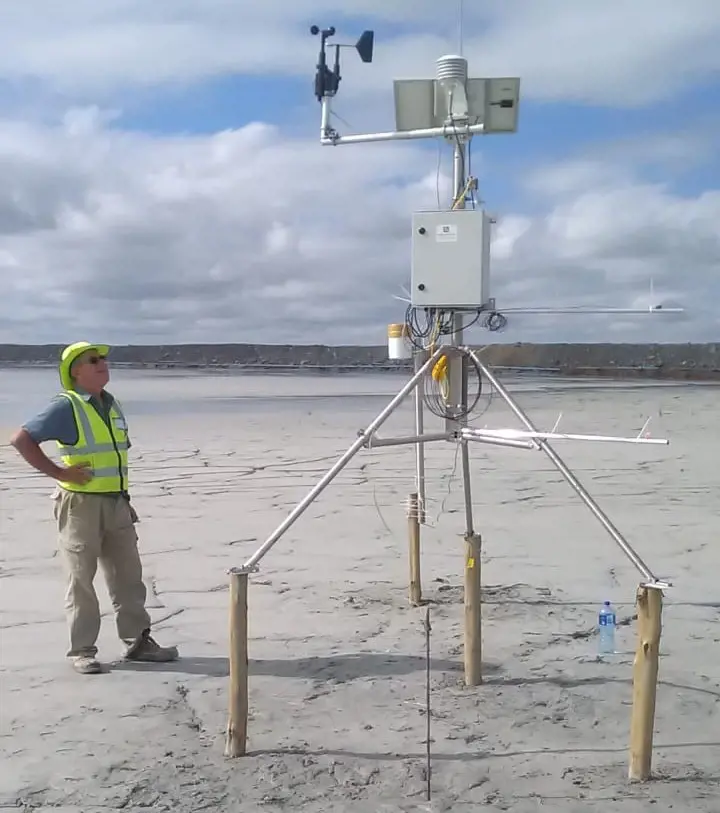
Responding to the GISTM’s water balance concerns will need a better understanding of evaporation fluxes and variability. Measuring evaporation from TSFs is a field of growing interest and research, with important gains being made in the scientific assessment of what has previously been an estimation. While annual potential evapotranspiration (PET) in semi-arid environments like southern Africa reaches volumes often exceeding three times the annual rainfall, the actual evaporation volumes from the TSF are controlled by the hydraulics of the porous medium. An improved knowledge of evaporation effects assists design engineers to understand the development of the pore water flow within the body of the TSF – allowing better assessments of TSF stability to be made.
Beyond the on-site water balance and actual water volumes and fluxes in the TSF, best practices in water management emphasise a broader water stewardship approach. A leading mining company has even targeted zero-use of fresh water its mines, recognising that water conflict could threaten its social licence to operate. These pressures for water stewardship beyond GISTM standards speak to trends emerging in the public space, guiding mines to adopt water strategies that will build resilience within the business. In future, such an approach is likely to be vital when accessing finance and markets. Click on the GISTM link


