Throughout 2020 and 2021 SRK Exploration (SRK EX) was commissioned by multiple companies to conduct geological reconnaissance of iron ore exploration licences in the Nzérékoré Region of southwestern Guinea and the Nimba, Margibi and Bong Counties in Liberia.
There are numerous well-documented banded iron formation (BIF) deposits in West Africa that are hosted in Lower Proterozoic supracrustal sequences that rest unconformably on the Archean crystalline basement. These BIFs contain globally significant high quality iron ore resources. The likes of Simandou and Mount Nimba in Guinea, the southern Nimba Range, Yekapa deposits, Bong, Putu and Western Cluster in Liberia, and Tonkolili and Marampa in Sierra Leone, have been known for many decades and in some cases produced considerable amounts of iron ore. Poor infrastructure, political instability and fluctuating iron ore markets have proven to be major obstacles to developing such bulk tonnage deposits.
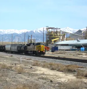
The Yekepa-Buchanan railroad in Liberia was built in the 1960s to serve the iron ore mines in the Nimba Range that straddles the border between Liberia and Guinea. It fell into disuse and was damaged during the civil war, but has since been renovated by Arcelor Mittal which operates mines around Yekepa. There is reportedly additional capacity for exports on this line and the Liberian government is considering amending agreements to allow other miners access to the line. There are numerous BIF occurrences proximal to the Yekepa-Buchanan line, both in southern Guinea and Liberia, that have potential to be small, yet economic deposits if high-grade, near-surface iron ore can be found and exported using the existing railroad.
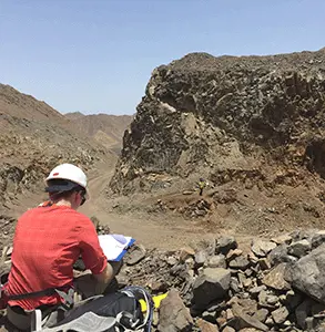
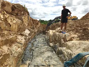
SRK EX has been assisting clients to evaluate these iron projects by compiling historical geological data, exploration reports and publicly available documents. Visits were undertaken by teams of SRK EX geologists to five separate exploration licences to complete reconnaissance mapping over magnetic anomalies and areas of historical exploration. In all cases the licences were remote and required long offroad drives along frequently flooded logging tracks, followed by many hours of line cutting through dense vegetation and up steep ridges.
Drill core was available for one project, allowing geologists to relog certain intercepts and collect magnetic susceptibility data to validate historical claims of high-grade mineralisation.
At two projects ground penetrating radar (GPR) was used to map the location and thickness of canga-type mineralisation. These colluvial deposits comprise haematite-dominant clasts that have migrated downhill under the influence of gravity and been recemented with a haematite matrix. The GPR sectional data was used to generate a range of volumes that were combined with pitting and surface sampling grade data to estimate a robust exploration Target. From these mapped volumes, an initial drill programme has been designed that will commence in late 2022.


